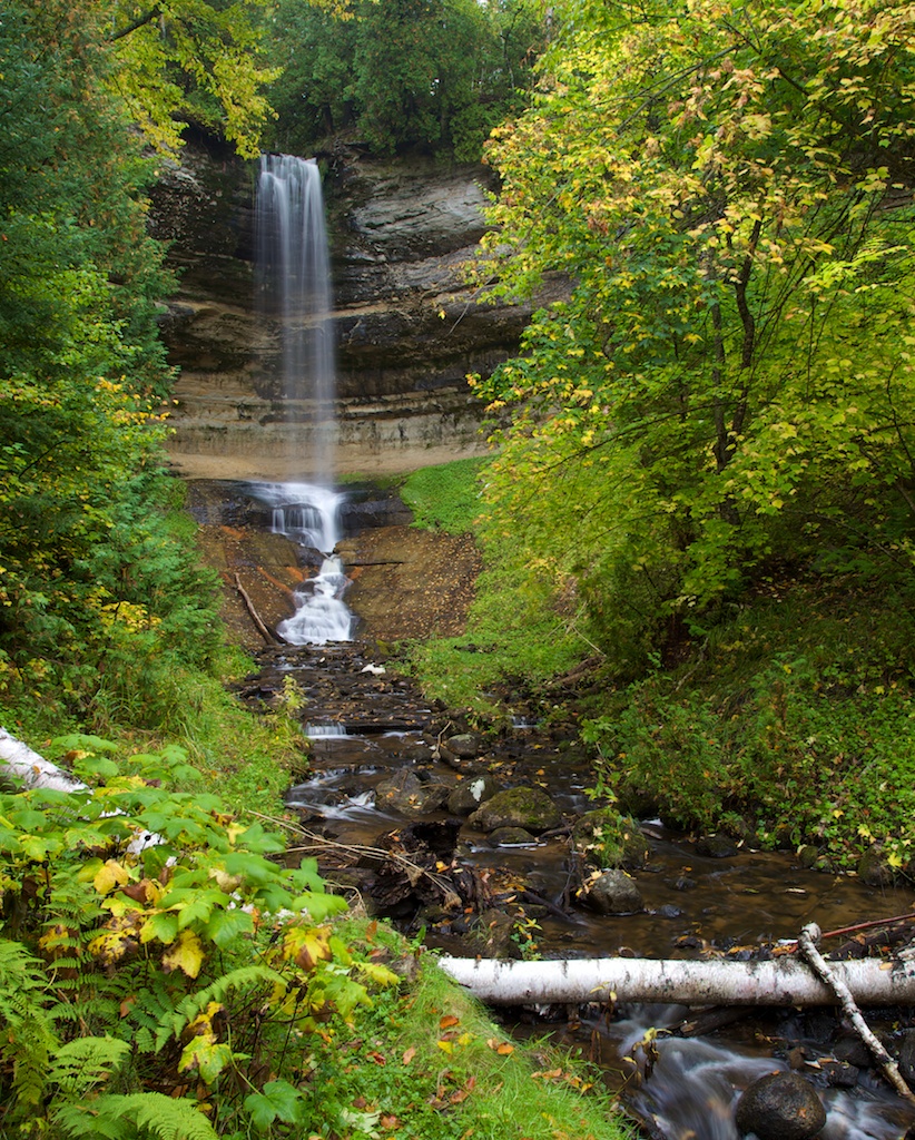
There are several Yosemite hikes that stand out as something more than the typical nature trail. One of our family favorites is to hike the John Muir Trail up to Nevada Falls and then back down the Mist Trail to Vernal Falls. It’s a long day hike with plenty of rewarding views, and probably one of the most popular hikes from the valley. My most memorable Yosemite hike was climbing Halfdome back in 2011. We backpacked up past Nevada Falls to Little Yosemite Valley, where we camped the night. Then the following day we were up at 5am to hike the rest of the way to the summit and then all the way back down. It was a hike I’ll never forget.
Ever since making it to the top of Halfdome, I’ve wanted to hike to the top of Yosemite Falls. I’ve been to the park several times in the past 13 years, but I just haven’t had the chance to tackle that trail. A few weeks ago, in April 2024, I finally had the chance.
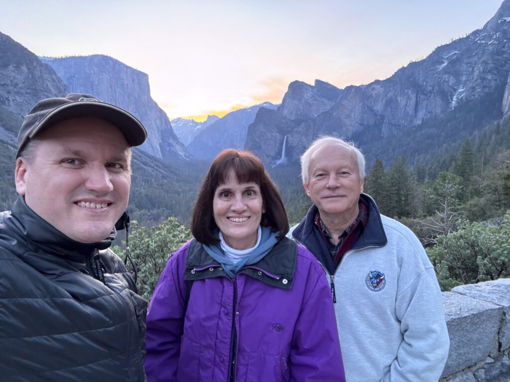
My parents were up to visit our house in Oakhurst for the week. The weather was iffy, but I determined that Wednesday would be the best day to do the hike: there was a small chance of rain, but not until the afternoon. High temperatures were supposed to be around 65° in the valley.
We woke up early that morning. Oakhurst is about an 1:30 drive from Yosemite Valley, and I wanted to get an early start. The sun rose at 6am, so we set the alarm for 3:30 in order to get there in time to watch it. I started the hike around 8am.
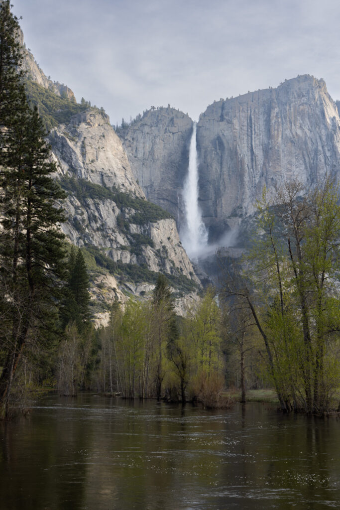
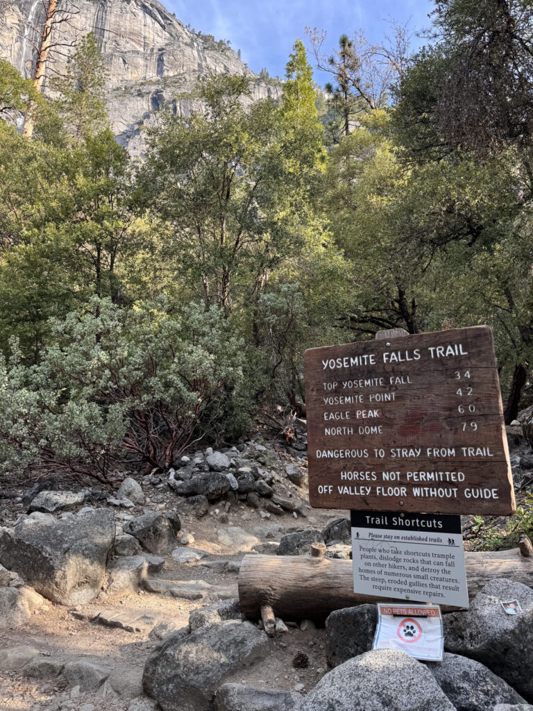
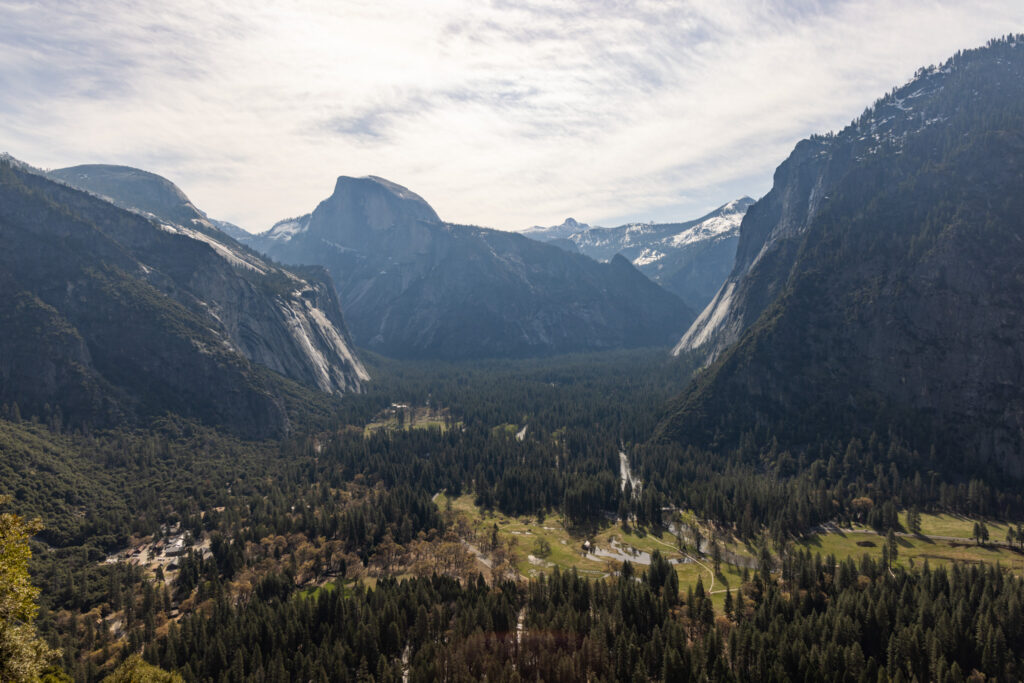
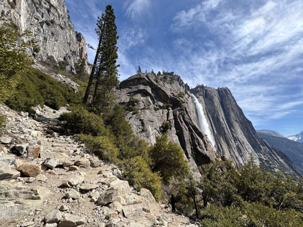
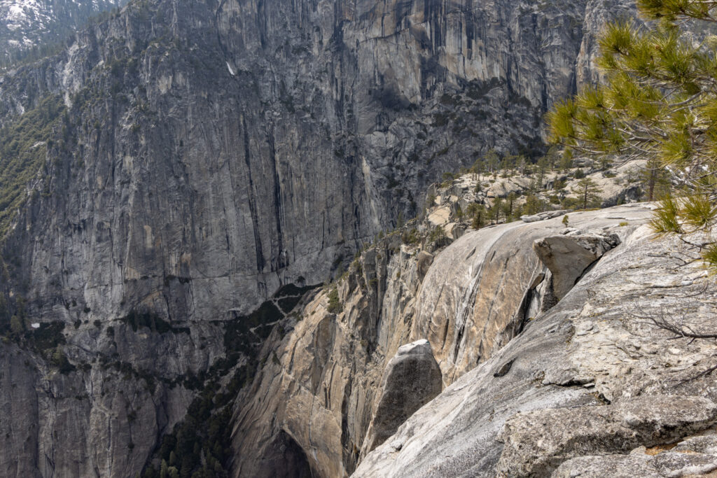
The plan was to hike 3.4 miles with 2,700 feet of elevation gain to the top of Upper Yosemite Falls. If I had the energy after getting to the top of the falls, I hoped to continue an extra 0.8 miles and up another 300 ft to Yosemite Point, which is the higher peak in the upper-right corner in the photo shown above. That would make 8.4 miles round-trip with an even 3,000 feet of elevation gain.
The weather was a big question mark still, so I brought lots of layers. I started the trail with a long sleeve shirt and a jacket on, as it was still in the lower 50s. The jacket came off within the first 20 minutes though, as the trail had countless stairs and switchbacks. By the time I was about halfway up, it felt like it was in the 60s and I changed into a short sleeve shirt. Continuing upward though it dropped back into the 50s and I was happy to have the jacket on again.
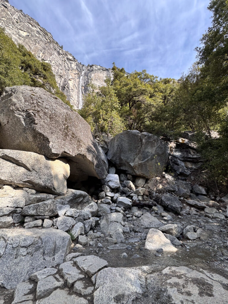
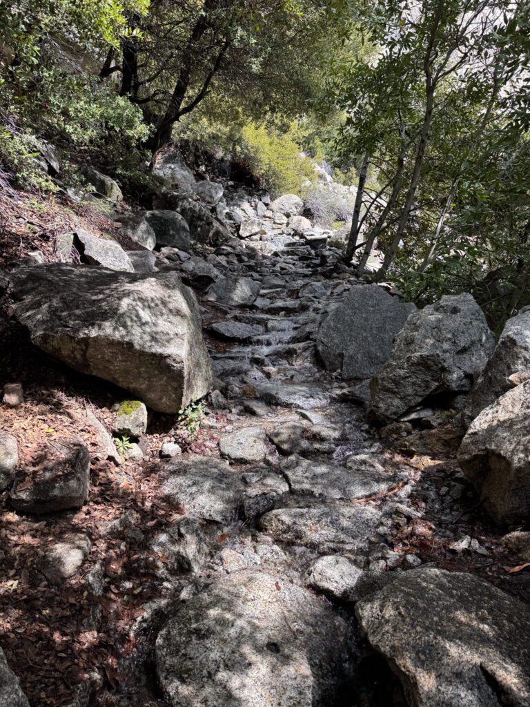
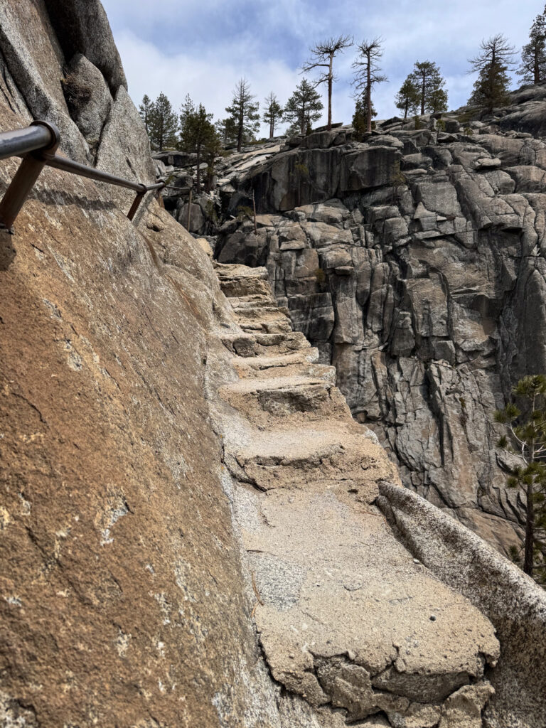
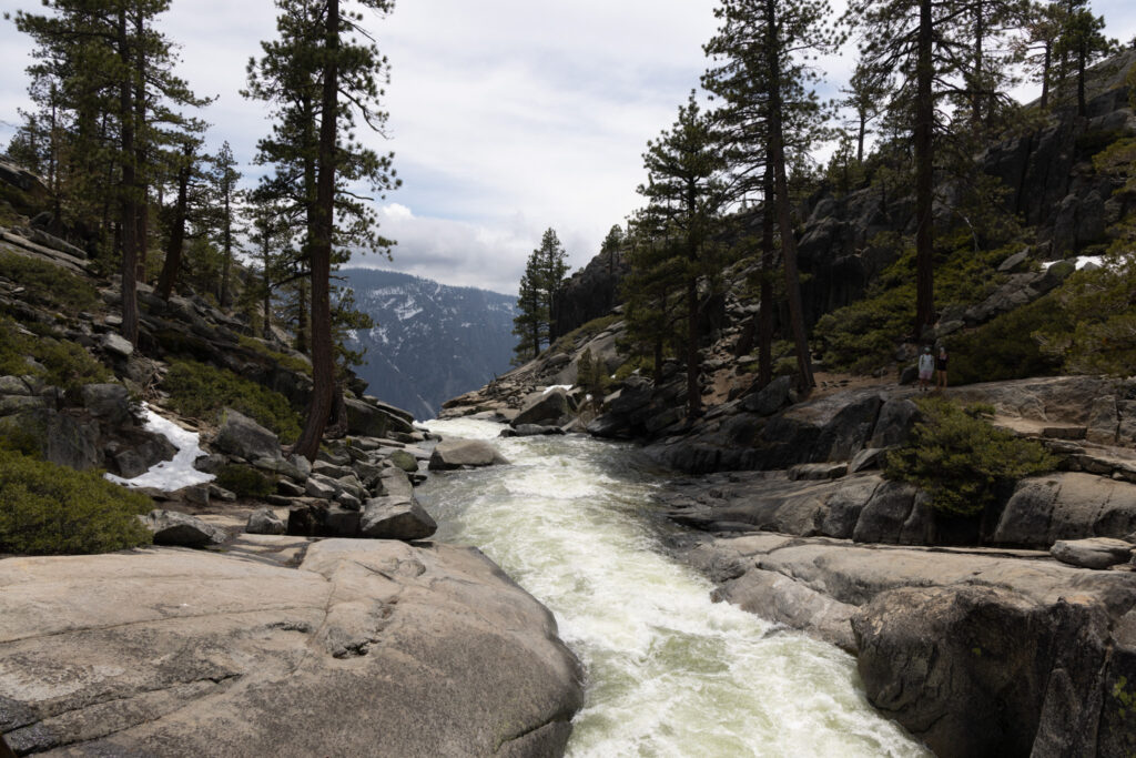
The second stream crossing was a little more involved. The trail here was only a few feet wide, and there was a pretty significant drop-off to the right.
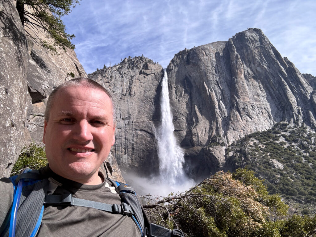
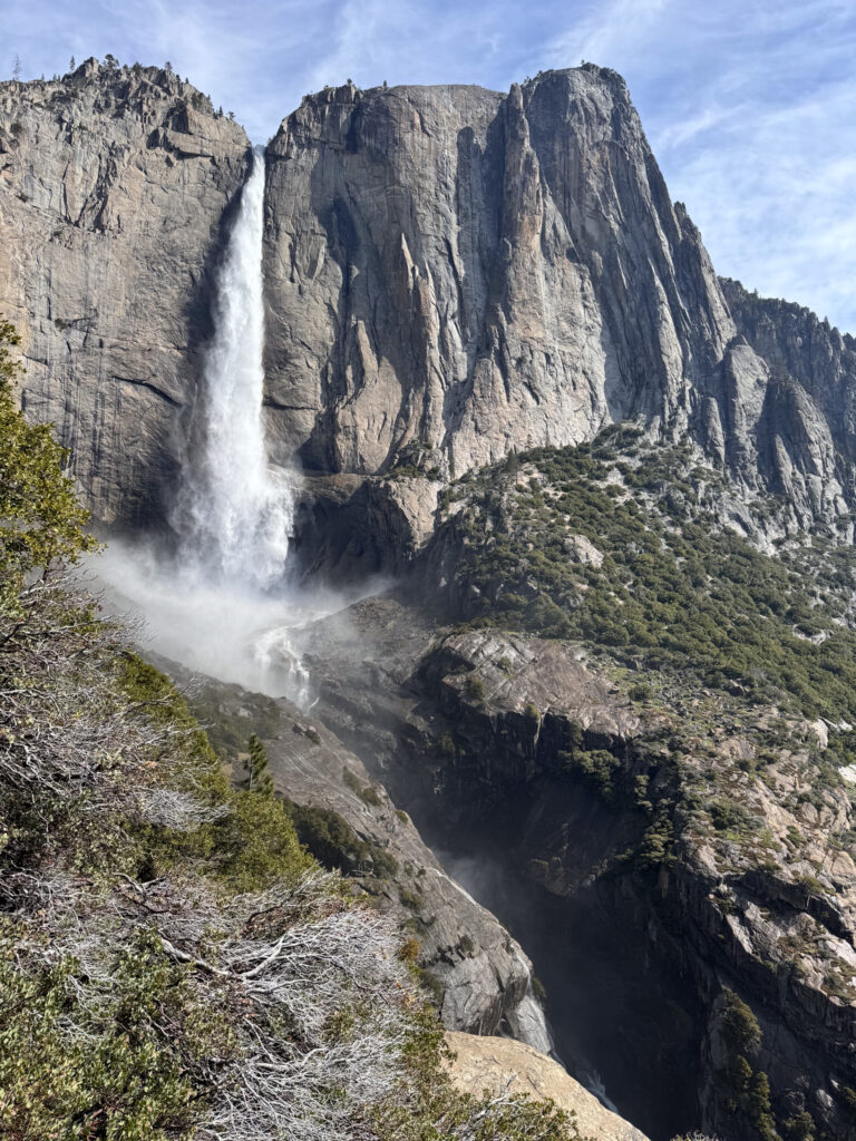
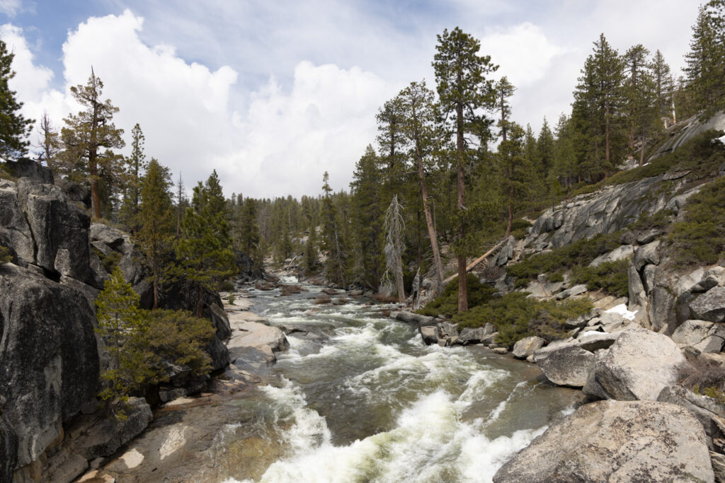
For the first mile or two of the trail, you can’t see the falls. Then you round the corner at “Oh My Gosh Point” hear the roar of water falling 1500 feet, and see this…
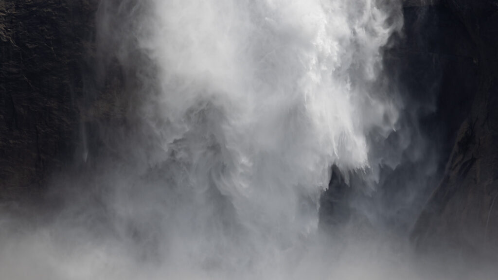
It was at this point that I got to take one of my bucket shots. I’ve always wanted to take a photo of a small horizontal band of water out of a larger waterfall. Yosemite Falls is perfect for this. I didn’t quite have the reach on my 24-105mm lens, but I was able to get this 15 megapixel crop from my camera’s original 45 megapixel image.
After Oh My Gosh Point, the trail started becoming much steeper and there was a lot more water on the trail. There would be entire switchbacks that would be streams. I was glad to have good hiking boots to get past this part of the trail without getting my socks wet.
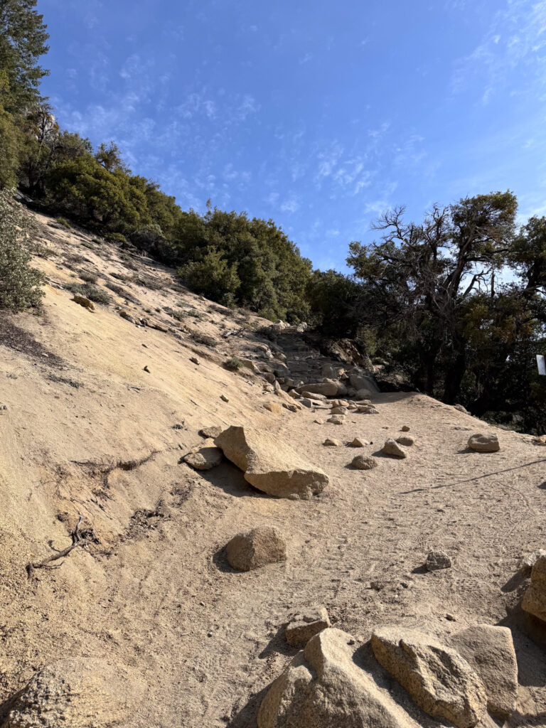
Did I mention it was steep?
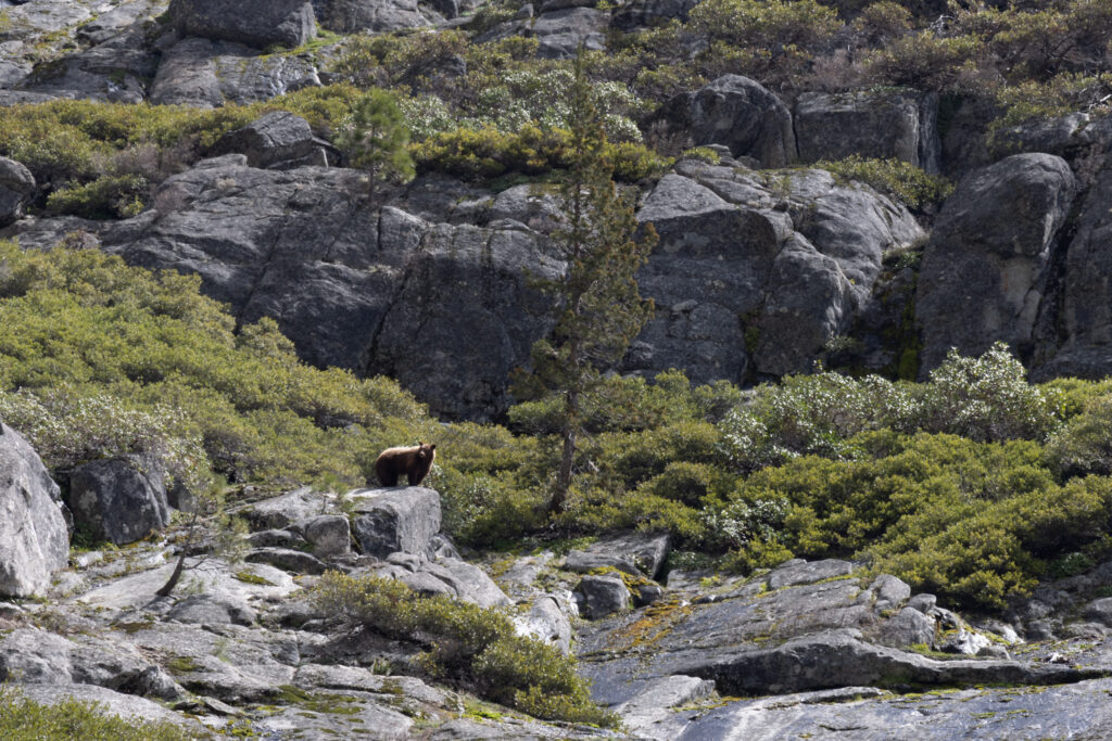
About 2/3rds the way up the trail, I saw a bear. It was maybe 100-200 yards away, and moving away from the trail. I stopped for about 10 minutes just to watch.


After hiking all the way up, you have to hike down a little bit to get to where the water drops off the edge. There was one section of trail that was a sheer drop on one side, and hardly a foot wide to stand on. There was only an old railing to hold onto. I was ready to turn around, but was determined that I didn’t come all the way to not make it the last 50 feet of the trail.
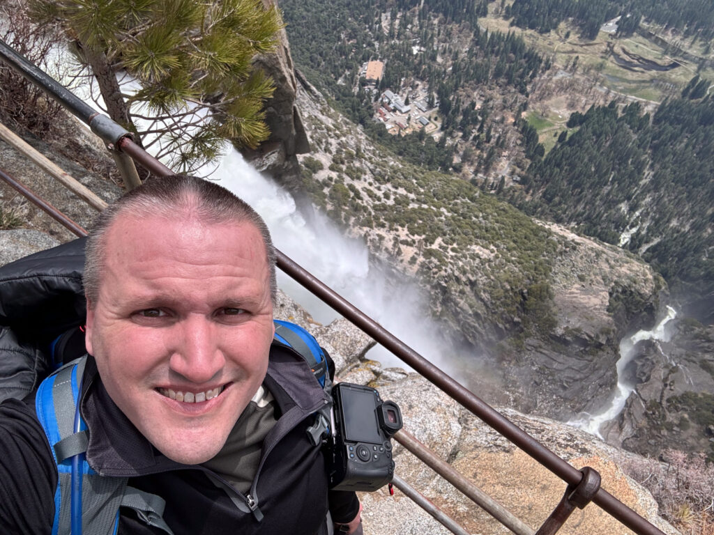
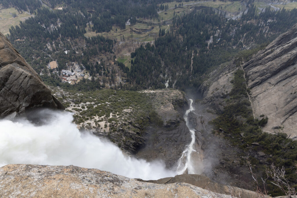
Here’s a video I took from the top…
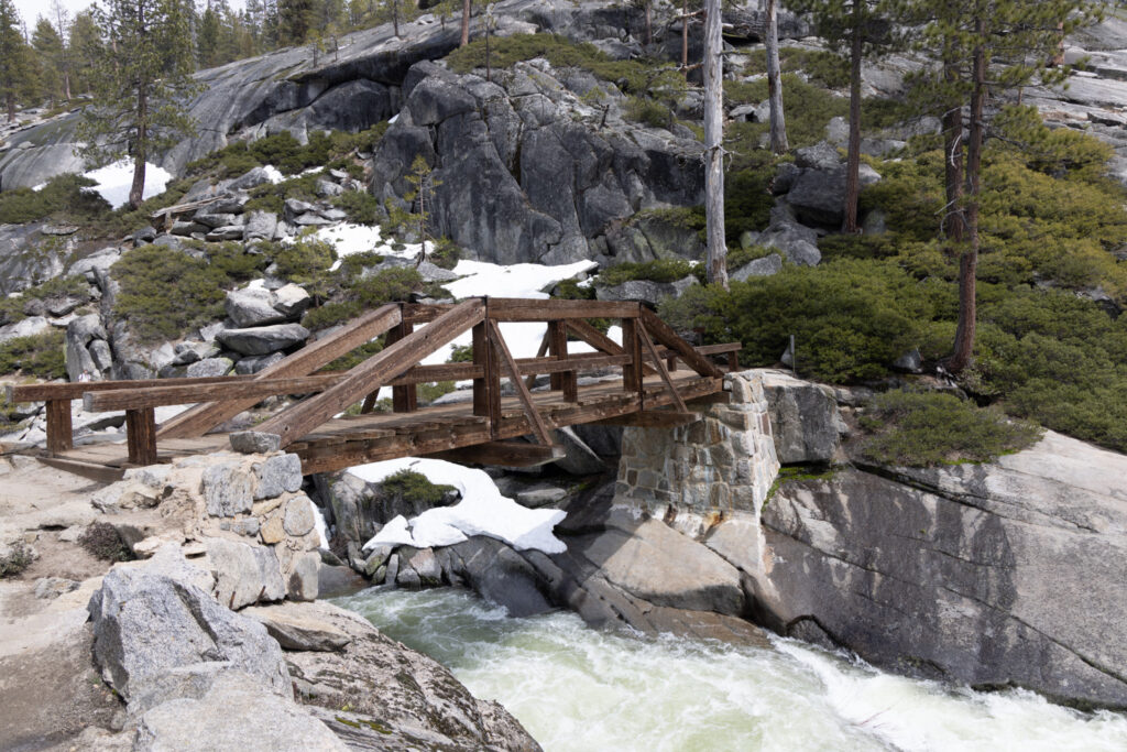
Now I had to make a decision of whether to go on to Yosemite Point. I was exhausted at this stage, and part of me thought not going to the point would be a good excuse to do the hike again someday. Ultimately I decided that if it had taken me over 10 years to do this hike once, it would take a lot longer to find a chance to hike it again. I crossed the bridge and continued to Yosemite Point.
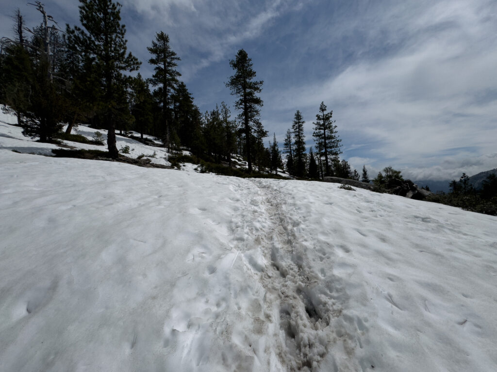
Up past Yosemite Falls there was a lot more snow on the trail. Some sections my foot would sink in 1-2 feet, and other spots weren’t marked which made it difficult to follow the trail. I had to be careful. It made the last 0.8 miles a lot slower going.
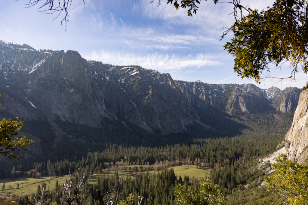
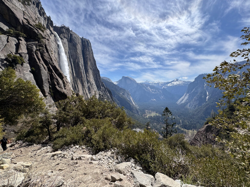
About 45 minutes later I made it to Yosemite Point…
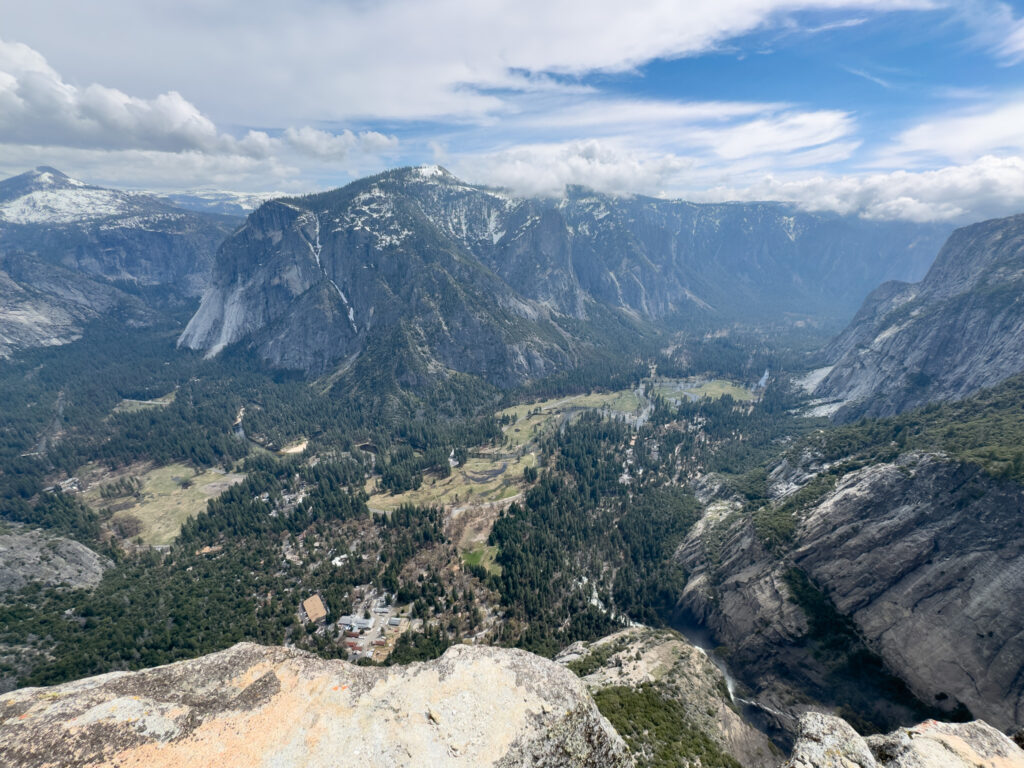

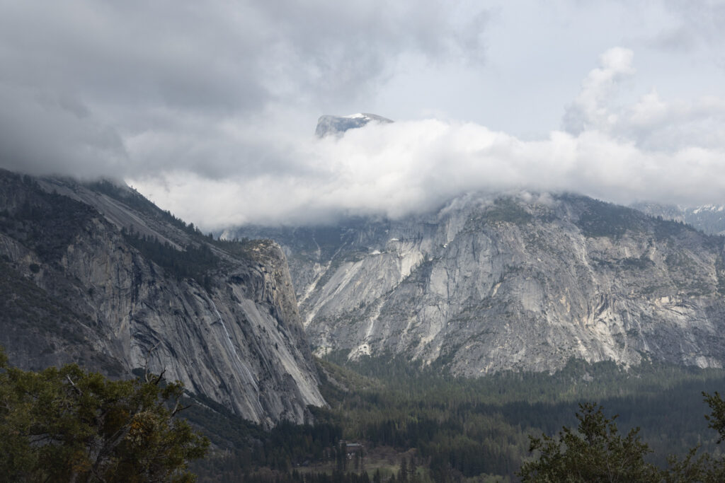
That picture of Halfdome was my last shot of the day. Coming back down was easier on my lungs, but harder on just about every other part of my body. I started the day with 2 liters of water and a 20 oz Gatorade. I drank the Gatorade and about 3/4ths of the water by the time the day was done. I imagine if I was doing the hike in the summer, I would have gone through a lot more water. It might have been better to carry a water filter and start with less water to save on weight at that point.
Overall, it was an amazing hike–one I’m sure I’ll never forget. Now I just need to figure out which Yosemite hike to do next…